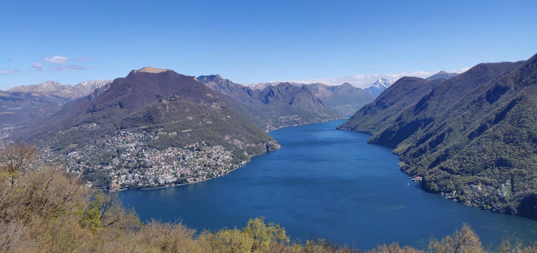
Hiking the Trans Swiss Trail in 32 stages
Porrentruy to Mendrisio, one weekend at a time
The Trans Swiss Trail is one of Switzerland’s classic long-distance hiking routes: 32 official stages covering 488 km and around 17,700 m of ascent, from Porrentruy in the Jura down to Mendrisio on the Italian border. I didn’t hike it in one go — I picked off stages over roughly a year, whenever a free weekend, decent enough weather and my mood lined up.
Between March 2021 and April 2022 that added up to 32 hikes, ~524 km and ~16,400 m of ascent on my own GPS tracks (GPS-measured distance/elevation is usually a little higher than the official figures, which is why the numbers below don’t match SchweizMobil’s exactly).
If you like hiking then I cannot recommend these national trails enough, whether you’re new to Switzerland or just want to get out and explore a bit more. They give you a great excuse to visit a whole mix of places and for me, this meant feeling far more integrated and at home. In fact, when speaking to people after the fact, I found that I’ve explored way more of Switzerland than a lot of native Swiss or expats who’ve been here far longer than I!
Stage log and GPX downloads
Each stage name links to the official SchweizMobil stage page for route details, and the GPX link is a cleaned copy of the track I actually walked — personal metadata (author info, heart rate, cadence, temperature, device ID) has been stripped, so it’s safe to download and drop straight into a GPS device or mapping app for navigation e.g. with Garmin Connect you can sync them straight from your phone to your watch and use them for route guidance.
| Stage | Distance | Elevation | Moving time | GPX Track | |
|---|---|---|---|---|---|
| 1 | Porrentruy – St-Ursanne | 17.3 km | +640 / -573 m | 3h28 | Download |
| 2 | St-Ursanne – Soubey | 16.6 km | +196 / -205 m | 2h32 | Download |
| 3 | Soubey – Saignelégier | 15.8 km | +765 / -257 m | 3h46 | Download |
| 4 | Saignelégier – St-Imier | 18.1 km | +442 / -618 m | 3h20 | Download |
| 5 | St-Imier – Chézard-St-Martin | 15.7 km | +550 / -566 m | 2h51 | Download |
| 6 | Chézard-St-Martin – Neuchâtel | 10.9 km | +184 / -522 m | 2h05 | Download |
| 7 | Neuchâtel – Murten | 18.7 km | +307 / -294 m | 3h17 | Download |
| 8 | Murten – Laupen | 15 km | +254 / -201 m | 2h39 | Download |
| 9 | Laupen – Bern | 24.2 km | +366 / -306 m | 4h10 | Download |
| 10 | Bern – Worb | 17.3 km | +248 / -200 m | 2h56 | Download |
| 11 | Worb – Lützelflüh | 17.7 km | +593 / -585 m | 3h20 | Download |
| 12 | Lützelflüh – Langnau i.E. | 13.2 km | +99 / -14 m | 2h11 | Download |
| 13 | Langnau i.E. – Eggiwil | 12 km | +534 / -473 m | 2h45 | Download |
| 14 | Eggiwil – Schangnau | 14 km | +746 / -568 m | 3h06 | Download |
| 15 | Schangnau – Sörenberg | 19.4 km | +762 / -533 m | 3h30 | Download |
| 16 | Sörenberg – Giswil | 19.1 km | +641 / -1294 m | 3h49 | Download |
| 17 | Giswil – Flüeli-Ranft | 9.4 km | +292 / -58 m | 1h35 | Download |
| 18 | Flüeli-Ranft – Stans | 17.8 km | +447 / -734 m | 2h55 | Download |
| 19 | Stans – Seelisberg | 21.4 km | +747 / -414 m | 3h27 | Download |
| 20 | Seelisberg – Erstfeld | 24.2 km | +238 / -546 m | 4h35 | Download |
| 21 | Erstfeld – Wassen | 19.9 km | +880 / -444 m | 3h39 | Download |
| 22 | Wassen – Andermatt | 10.3 km | +612 / -114 m | 1h40 | Download |
| 23 | Andermatt – Passo del S. Gottardo | 13.3 km | +730 / -76 m | 2h37 | Download |
| 24 | Passo del S. Gottardo – Airolo | 8.5 km | +27 / -961 m | 1h49 | Download |
| 25 | Airolo – Osco | 18.3 km | +730 / -706 m | 3h30 | Download |
| 26 | Osco – Anzonico | 8.9 km | +520 / -684 m | 2h51 | Download |
| 27 | Anzonico – Biasca | 17.6 km | +369 / -1069 m | 4h02 | Download |
| 28 | Biasca – Bellinzona | 24.6 km | +108 / -131 m | 5h01 | Download |
| 29 | Bellinzona – Tesserete | 26.1 km | +1383 / -1078 m | 6h21 | Download |
| 30 | Tesserete – Lugano (Comano) | 8.8 km | +102 / -286 m | 1h47 | Download |
| 31 | Lugano (Paradiso) – Morcote | 15.8 km | +918 / -989 m | 4h37 | Download |
| 32 | Morcote – Mendrisio | 14.3 km | +936 / -859 m | 4h08 | Download |
Notes on the tracks
- Distances and elevation come straight from my Garmin activity files, not the official SchweizMobil figures, so expect small differences stage to stage.
- Every GPX file has been stripped of author metadata and biometric data (heart rate, cadence, temperature) — they contain only the track name, coordinates, elevation and timestamps needed for navigation.
- I tend to go fairly quickly so your moving time might well be longer - I’ve just left mine there as a rough guide as the official SchweizMobil ones tend to be pretty generous.
What’s next
The Jura Crest Trail — 16 stages from Dielsdorf to Nyon — is next on the list to publish as I completed that a while ago too. I’ll do the same treatment and make a post for that.
Want to see a route before downloading it? Pick a stage below.